

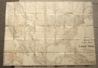
The Rand McNally Railway Guide Map of the United States, With Portions of the Dominion of Canada, the Republic of Mexico, and the West Indies.
Large lithograph map of the railways of the United States. Approximately 30 x 41 3/4 inches sheet size, folds to about 6 1/2 x 5 inches. Original yellow-brown paper cover printed with period advertisements, front cover only, rear cover missing. Some chipping and paper loss to cover, map with some..... More
